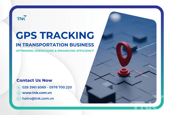
In today’s transportation industry, technology is changing every aspect of life and business, and since then the transportation industry has also had positive changes with the help of AI. Positioning and monitoring the transportation of goods has become an important factor to improve productivity, optimize costs and increase flexibility. Let’s learn with TNK about the benefits of GPS positioning in the transportation business!
Concept of GPS positioning in transportation business
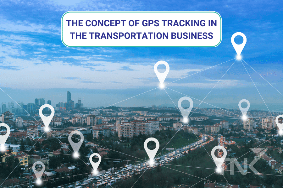 GPS positioning in transportation business (Global Positioning System) is a global positioning system, commonly used worldwide to determine the location, date and time of vehicles. Using data from airborne satellites, the above data will send signals to a GPS global positioning device in the form of radio signals. This device, after collecting data, begins to determine the vehicle’s location based on data from GPS
 satellites.
.
A GPS navigation system includes at least 24 satellites along with base stations on the ground. GPS positioning is a smart solution for the transportation sector, such as navigation, transportation, military, aviation, and many other industries.
Operation process of GPS navigation system
GPS positioning in the transportation business operates based on a principle called Trilateration. This technique is used to measure position, distance and height, 3-dimensional measurements to receive data from satellites to obtain position information. This technique is often confused with “triangulation” which is used only to measure distance, not latitude.
In essence, GPS technology works as follows:
- Satellites emit signals: Each GPS satellite emits a signal containing information about its position and location. This signal travels at the speed of light and is transmitted to Earth.
- GPS receivers receive signals from satellites: GPS receivers (like cell phones or satellite navigation) receive signals from at least four different satellites. By recording the time it took the signal from each satellite to travel through space and reach the receiver, the receiver knows how long it took the lost signal to travel from the satellite to it.
- Calculate distance: If the signal travels at a fixed speed (the speed of light), the receiver can calculate the distance from the signal to each satellite by adding the time it takes the signal to the speed of light.
- Determine position: When the GPS receiver knows the distance of at least four satellites and knows the location of those satellites (if this information is transmitted at the same time), the receiver uses an estimation algorithm to determine The satellite’s current position on the Earth’s surface.
- Accuracy adjustment: Information from satellite control stations is used to adjust the accuracy of the satellites and notify corrections as necessary so that GPS positioning is guaranteed to be highly accurate.
Satellites do not provide receivers with angle measurements, but only radius. Therefore, the location of your phone can be anywhere on the surface of the Earth. When transmitting data, the satellite creates a circle whose radius is transmitted from the GPS device to the satellite.
When there is more information from the second satellite, we will have a second circle. At this time, the space between the two intersecting circles will be the location of the device. Continuing with information from the third satellite, we will continue to narrow down and know the location of the device located at the intersection of 3 circles.
We already know 3-dimensional space, so when the satellite creates a sphere corresponding to 1 dimension. The intersection of the three faces of the Earth forms two intersection points. Therefore, whichever point is closer to Earth will be used as the satellite’s coordinates. When the device moves, new circles are created and we also get a new circle indicating the device’s position.
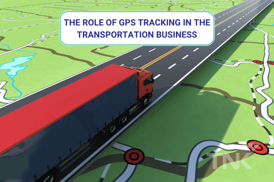
The role of GPS positioning in transportation business
 GPS positioning in the transportation
 business has a positive impact, and spreads to other fields. This is a technology that will shape the development of digital technology in the future. The following are the main roles of this device:
- Location: GPS positioning in transportation business helps businesses determine the location of devices or users on a map or on the ground.
- Navigation: GPS navigation devices are important for the transportation industry because they are tools that help people get from their current location to another specific location, and provide directions.
- Tracking: This positioning device will help transportation managers monitor and track objects or individual movements, with applications in transportation management, security, and many other fields.
- Mapping: GPS is the basis for creating global maps and updating geographic information about natural environments, infrastructure, and geographic locations.
- Time: GPS designs an interface like a clock with high precision, from which humans can make time measurements and synchronize time around the world.
Practical application of GPS in transportation business
- Logistics and freight forwarding: GPS positioning devices in the transportation business are a smart solution to manage and coordinate freight forwarding activities. Therefore, they are widely known for their function of ensuring goods are transported at the right time and to the right place.
- Passenger transport: Passenger transport companies can use GPS to monitor journeys. Conversely, passengers can also track their location while traveling in the vehicle.
GPS positioning in the transportation business plays a practical role in managing goods. However, if this system is placed in an unfavorable environment, it will not provide businesses with accurate data. The following are factors that affect the quality of this positioning:
- Number of satellite devices: Accuracy increases when there are more GPS satellites in view. Maximum accuracy is achieved when you have a minimum of 4 satellites to determine the position. Adding satellites can increase accuracy.
- Magnification: The obscuration of large buildings, trees, hills, or other structures can reduce GPS accuracy by reducing the number of satellites visible to the GPS device or by reflecting signals. radiation.
- Antenna type: Antenna types and receiving technology are factors that affect the accuracy and data transmission quality of GPS devices. High quality antennas and professional GPS devices will be more accurate than consumer devices.
- Land control service (RTK): For some applications that require high accuracy such as positioning in construction or agriculture, you can use RTK service to increase accuracy to a few millimeters.
- Weather conditions: Bad weather or a storm can affect GPS performance by increasing signal interference.
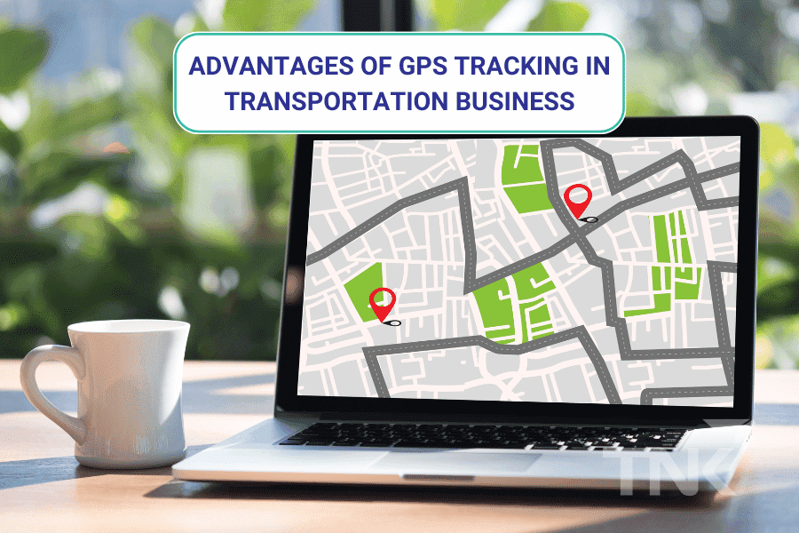
Outstanding advantages of GPS positioning in transportation business
Improve operational efficiency
GPS positioning in the transportation business helps track the exact location of each vehicle in real time. Through this system, they plan their routes accurately, avoid congestion, going the wrong way, and choose the right route to save travel time and fuel costs.
Understanding the exact location of vehicles and this positioning has effectively managed driving and monitored driver performance. Through this, transportation businesses can reduce unnecessary stops and improve business efficiency.
Helps drivers always operate safely
By using
GPS navigation devices in the transportation business, businesses can monitor and control drivers’ driving behaviors, including vehicle speed and driving errors. Thereby reducing the possibility of accidents and reporting promptly in case the business does not contact the driver.
GPS devices help the vehicle move easily and safely even when the vehicle moves in bad weather, fog or dark night. Because positioning will notify the driver before approaching dangerous locations or turns. In addition, it also helps drivers know the next location in advance to promptly handle incidents in dangerous places. And in addition, it also supports precise speed adjustment when the vehicle moves to new delivery locations.
Optimize operating costs in transportation businesses
GPS positioning in the transportation business has the ability to improve work efficiency, but also help save costs through optimizing routes and reducing fuel consumption. Minimizing fuel waste and vehicle travel time not only helps save costs but also minimizes the negative impact of environmental pollution.
PMVT transport software effectively manages through a detailed management list of fuel import and export. In this list, when entering the software, users will know: fuel import and export date, and know the fuel rate according to the vehicle’s actual rate.
Increase the competitiveness of the corporate brand
Applying GPS positioning technology in the transportation business will be a push table to help track tractors and their exact location. Transport businesses and consignees save time when packing and preparing to receive goods.
Truck software that combines a list of container/general vehicle commands and GPS positioning will provide accurate shipment information, such as location code, container code, vehicle name, and date and time of receipt. row. Thanks to that, the software combined with GPS will provide customers with a smart and automated transportation service.
In short, the GPS navigation system in the transportation business is an effective tool for fleet management, improving safety, optimizing operating costs and improving customer service. Transportation businesses will monitor all operations within the company with intelligence and automation. Hopefully this article will help you have a clear view of the importance and requirements of a GPS navigation system.
TNK Technology & Solution Company Limited
Address: 137 Luy Ban Bich, Tan Thoi Hoa Ward, Tan Phu District, HCMC
Hotline: 028 3961 6069 – 0978 700 220
Email: hotro@tnk.com.vn
Website:
tnk.com.vn/